The 6 best walking routes
Breathe, you are in Saint-Cyprien!
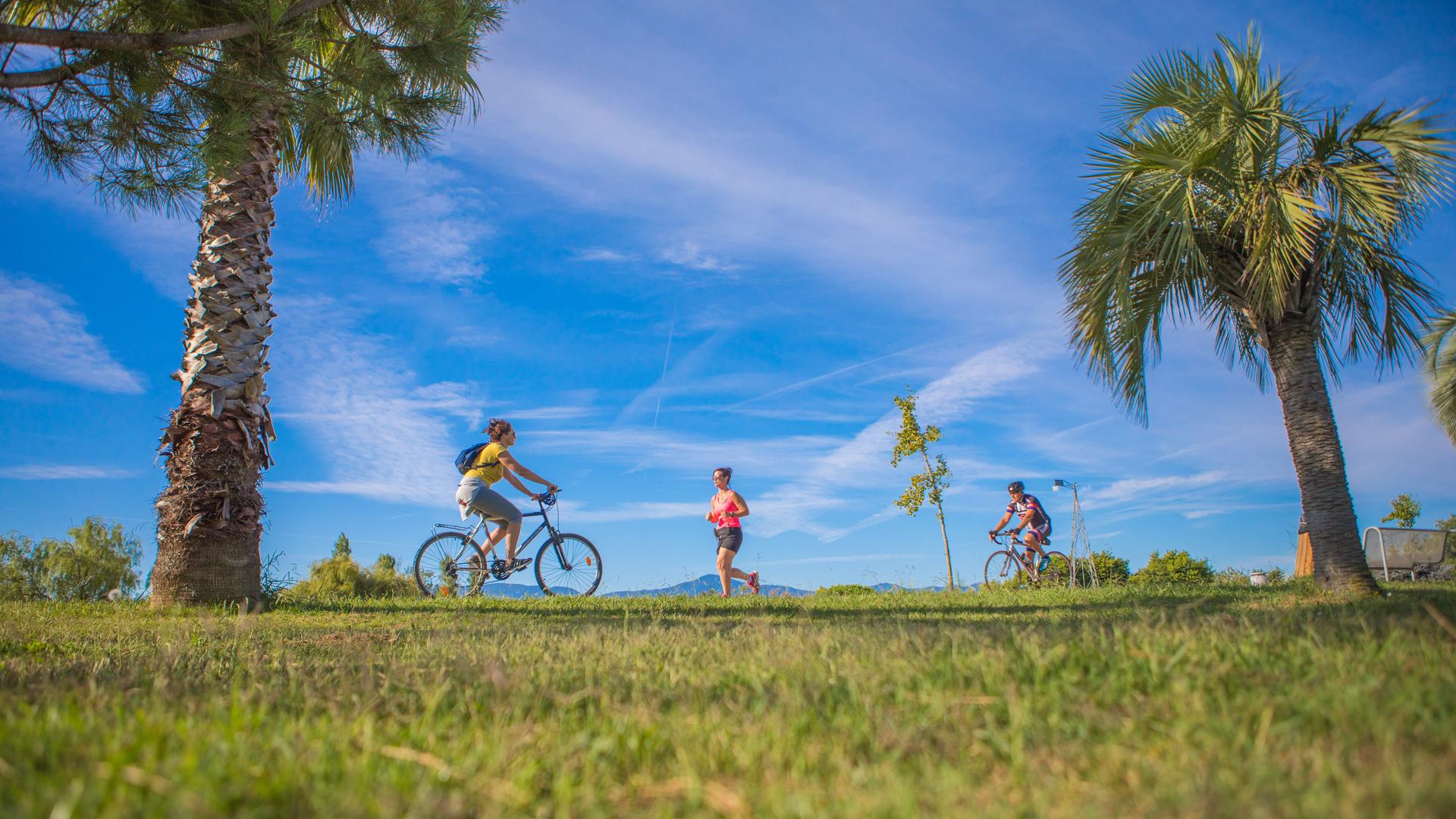
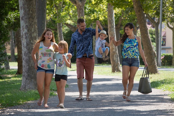
Make the time for a walk. With its many palm trees, Saint-Cyprien Méditerranée has an oasis-like atmosphere where life is good. Everything is designed to preserve this unique environment. A town of nature, respectful of the exceptional environment from which it benefits, Saint-Cyprien likes to share its treasures with our visitors.
A network of footpaths and cycle paths has been specially designed for the pleasure of locals and holidaymakers. There are many country walks with natural and historical points of interest, and picnic areas for moments of relaxation with family.
And if you discover Saint-Cyprien by bike?
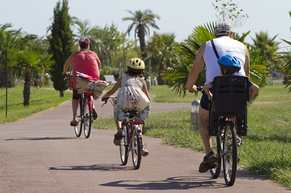
Many starting points are available for you to discover Saint-Cyprien. Choose a route on the map and at your own pace make your own trails: how about a stop at the lagoon, quiet and rejuvenating, a visit to the Collections of Saint-Cyprien or even a walk across the Park de la Prade and the roads leading to our beaches?
Follow the marked cycling tourist routes, perfectly safe for families and young children!
The 6 best exploration routes
View on Open Runner
Level: Easy / Distance: 2.7km / On foot: 30 min. / By bike: 8 min.
Ideal if you want to take a short bike ride, the Villerase trail offers a beautiful panorama of the Plain of Roussillon and the Albères massif. You will also have the opportunity to see the Romanesque chapel of Villerase.
View on Open Runner
Level: Medium / Distance: 10.5km / On foot: 1hr 55min. / By bike: 30 min.
Do you want to reach the beach off the beaten path? This route is for you! Bordering the village, this route will allow you to alternate between rural, urban and maritime landscapes.
View on Open Runner
Level: Easy / Distance: 6.4km / On foot: 1hr 15 min. / By bike: 20 min.
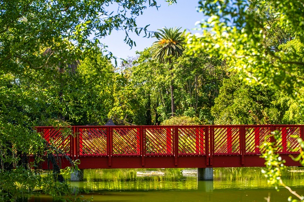
This circuit will offer you an original viewing point of the coast and the Plain of Roussillon. A great opportunity to discover the unmissable Jardin des Plantes, a haven of peace and greenery set over 5 hectares.
View on Open Runner
Level: Easy / Distance: 4.5km / On foot: 55 min. / By bike: 15 min.
This route between the village and nature will take you through landscapes that witnessed ancient activity dating back to the Gallo-Roman era!
View on Open Runner
Level: Medium / Distance: 4.6km / On foot: 55 min. / By bike: 15 min.
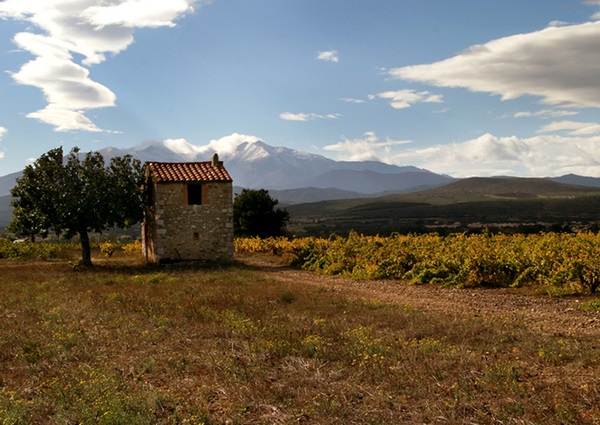
An incomparable panorama over the Plain of Roussillon is offered to you, between Corneilla del Vercol and Montescot. This wild untouched route will take you to the heart of a surprising natural area, the Prade de Montescot. Be careful, this route has unsurfaced sections.
View on Open Runner
Level: Medium / Distance: 10km / On foot: 1hr 55 min. / By bike: 30 min.
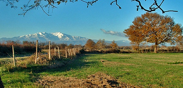
Discover Mediterranean architecture in 3 villages: Alénya, Théza and Corneilla del Vercol. This walk will take you on trails lined with fields of apricot trees, from which you will have a breathtaking view of the peak of Canigou.
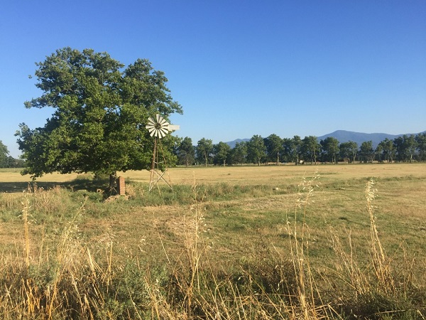
For simplicity, the Communauté de Communes Sud Roussillon have included all the routes on Open Runner, you just have to follow your mobile phone.
For more details on the various route points, remember to download the essential "Petit Guide des sentiers".
Advice from the team!
Before setting out check the weather forecast, bring sufficient water and sun block.
[VIDEO REPORT] Discover the cycle routes with Irène, promotion agent for the Communauté de Communes Sud Roussillon.

